USGS 3DEP LiDAR Data
Easily evaluate
every site.
Get LiDAR, contours, parcel boundaries, and building outlines for any site as a layered DWG ready for the software you already use.
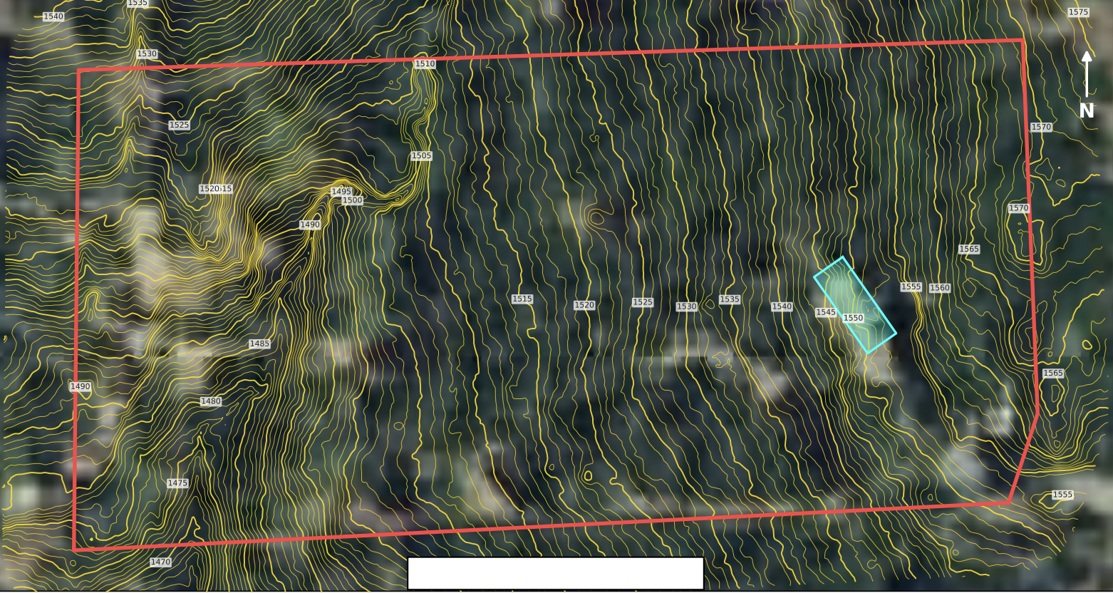

Get LiDAR, contours, parcel boundaries, and building outlines for any site as a layered DWG ready for the software you already use.
Submit your site address or parcel number or upload a boundary file.
We transform and export LiDAR, contour, and parcel data for your site.
Receive your layered topographic map ready to use in your preferred software.
Exports compatible with any design software.
Every ContourLabs map includes a PDF and layered DWG file delivered to your inbox ready to use in your software.
Lake County, Colorado — 5ft contour interval
Client: Professional Land Surveyor
This project in Lake County, Colorado included steep, heavily forested terrain that would have required weeks of field collection. After field verification, our data was integrated into the official survey.
Shared with permission from Gillians Land Consultants LLC
Nevada County, California - 2 ft interval
Client: Homeowner
A homeowner wanted to better understand his property before investing in a professional survey. ContourLabs gave him a detailed view of the terrain so he could explore possibilities and start conversations with professionals.
Boulder County, CO
Client: Professional Land Surveyor
LiDAR-derived contours integrated with field-collected boundary and control data to support a complete professional survey deliverable.
Shared with permission from Huey Surveying
ContourLabs transforms LiDAR into CAD-ready topographic maps. Fast, affordable, and designed for early-stage planning or to supplement field-verified survey work.
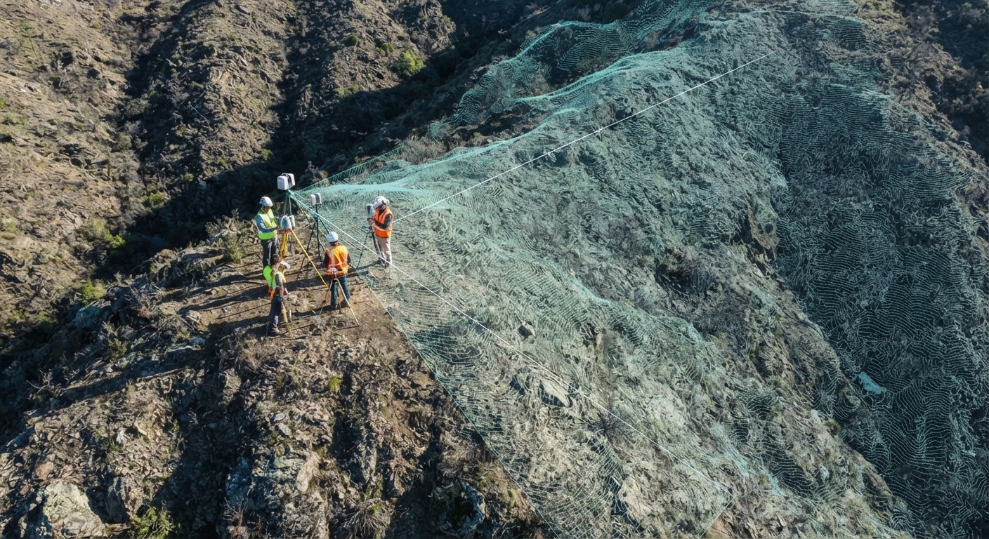
Supplement fieldwork with LiDAR-derived topography across large, steep, or difficult terrain.
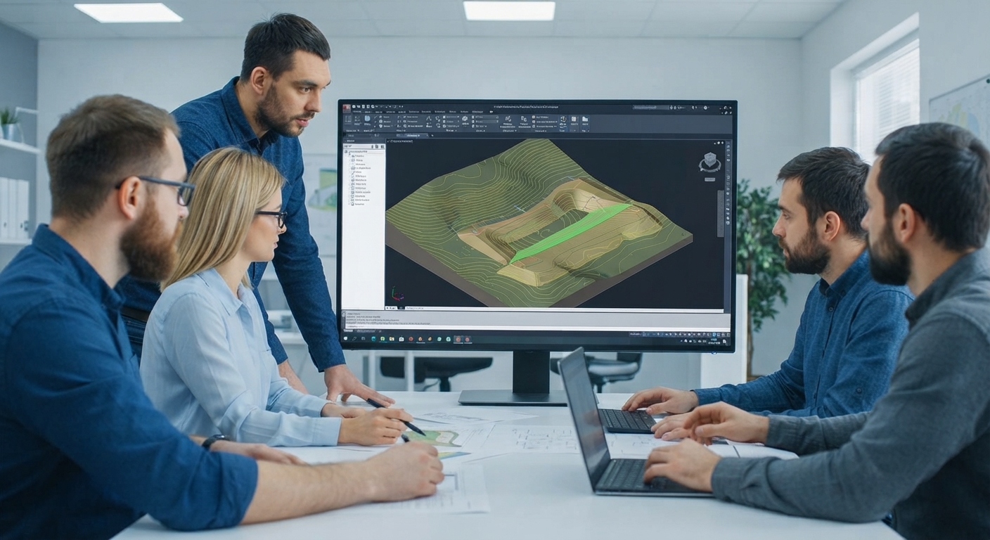
Get existing terrain into your workflow faster for early grading, drainage, access, and site planning.

Understand the site before design begins with terrain data prepared for your design software.
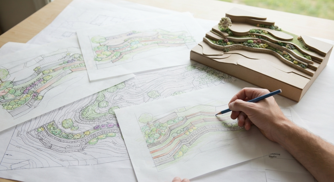
See the shape of the land early so your concepts respond to existing slopes, drainage, and elevation.
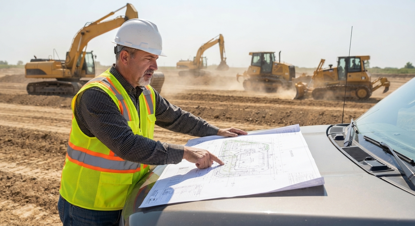
Understand terrain, access, and site constraints before committing to expensive survey and design work.

Understand what may be possible on your property before investing in survey, design, or construction.
Use ContourLabs to plan and decide. Use a licensed surveyor to build and define boundaries.
| Attribute | What it is | What it is not |
|---|---|---|
| The data | High-resolution topographic maps derived from LiDAR | A licensed land survey or boundary determination |
| The deliverable | Down to 1-foot contours, parcel boundary, and building outlines delivered as a layered CAD-ready DWG and a print-ready PDF | A replacement for ALTA/NSPS or construction staking surveys |
| For land surveyors | Supplemental topographic data that can be field verified and incorporated into final survey deliverables | Certified or stamped by a professional land surveyor |
| For architects + engineers | Early-stage site feasibility, planning, and terrain analysis | Suitable for legal boundary disputes or property line determinations |