FOR ARCHITECTS
CAD-ready topographic maps for your next project.
Get detailed contour lines, elevation data, and property boundaries from existing LiDAR data, delivered as a layered DXF/DWG ready for your design software.

GIS for Architects
Start designing with real terrain, not assumptions.
Before a site survey is available, architects often work with incomplete elevation data. ContourLabs delivers detailed topographic maps from existing LiDAR, giving you the contours and site information needed to make informed design decisions from day one.
 01
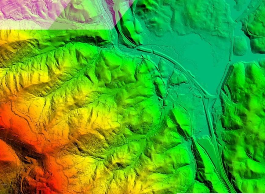
We find the data
We locate the best available public LiDAR for your site, usually USGS 3DEP, and check that it's good enough to use.
 02
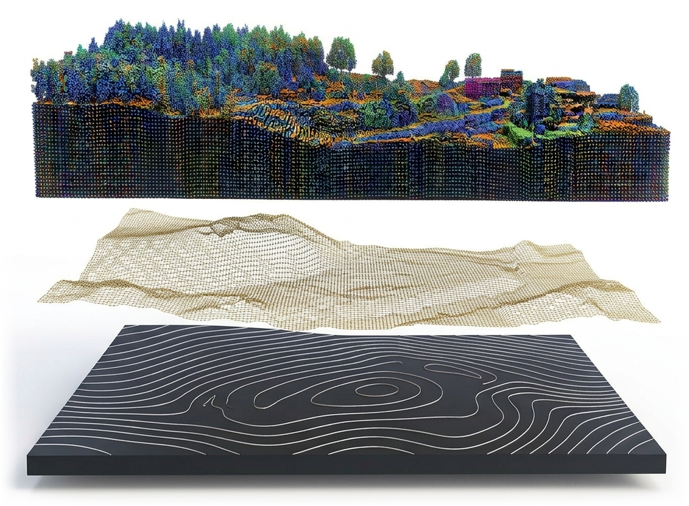
We process the terrain
We filter the point cloud to bare ground, generate contours down to 1 ft where the data supports it, and clip them to your site.
 03
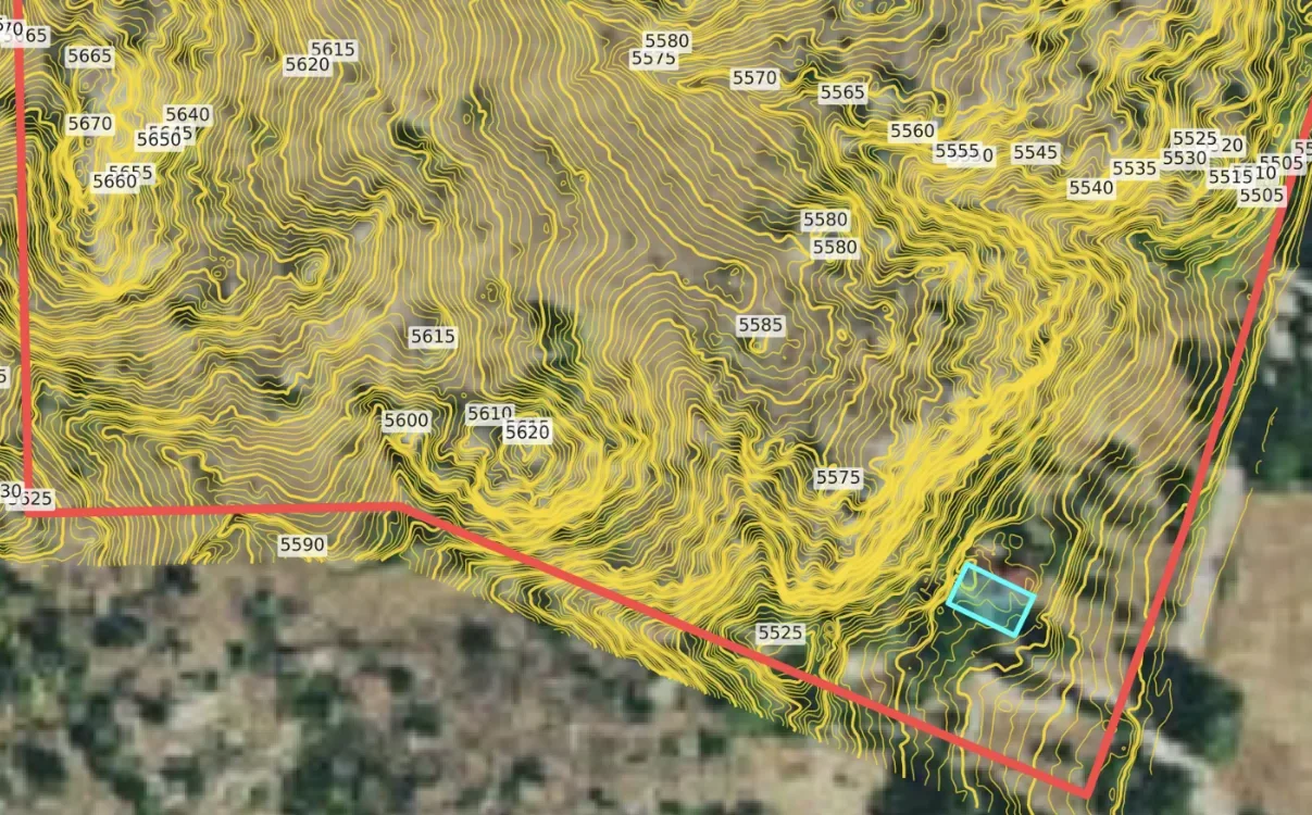
We add site context
The parcel boundary and optional building footprints join your contours, so massing starts with the real lot.
 04
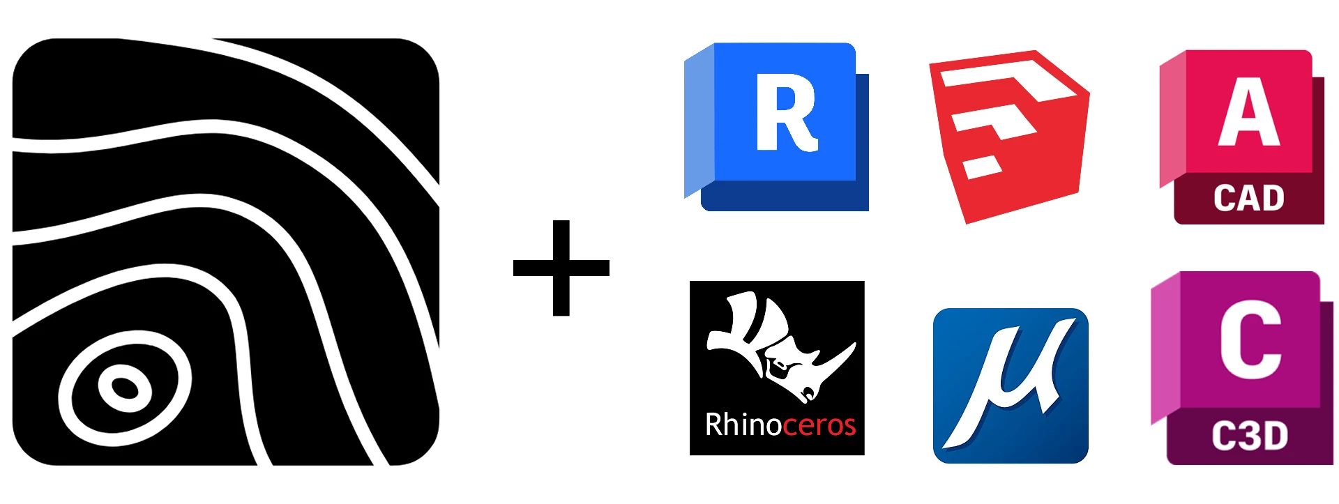
You receive a DWG/DXF
A layered DWG/DXF for AutoCAD, Revit, Rhino, or SketchUp Pro, plus a print-ready PDF.
No mapping specialist required
Raw LiDAR has to be processed in specialized mapping software before it becomes contours, and most studios don't have anyone who does that. We do, so you never have to.
Fewer redesigns when the survey arrives
Concept work done on real grade survives the survey instead of starting over.
Priced for a residential lot
Most lots under an acre are $30, cheap enough to run on every early project.
Other tools give you data to wrangle. With ContourLabs you get a clean DWG ready to design on.
Real grade from the first sketch.
Contours change early design decisions most when the site isn't flat.
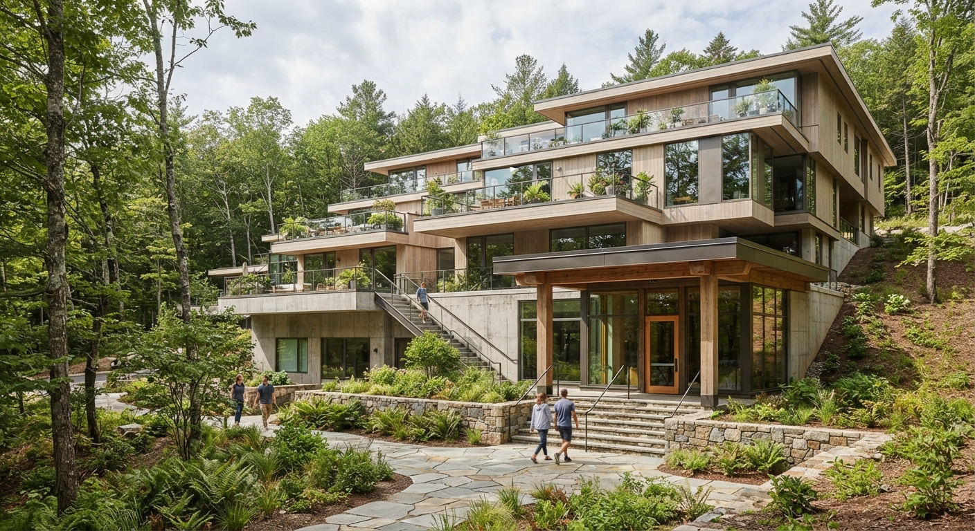
Siting & massing
See how the building steps, where it meets the ground, and where the entry lands.
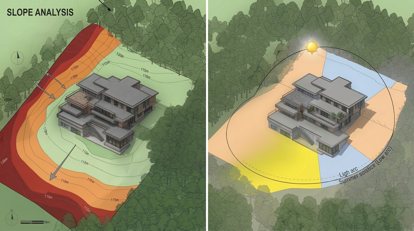
Views & solar orientation
Read slope and aspect before you set the orientation.
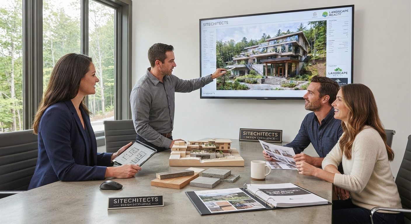
Client presentations
Show clients their building on their actual land.
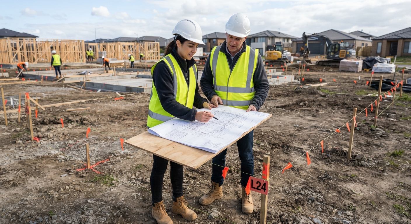
Pre-purchase lot reviews
Help clients judge a lot's slope and buildable area before they make an offer.
Contours, parcel boundaries and building outlines, in the same DWG
Parcel boundaries are included with every project. Add building outlines at no extra cost. Both arrive on their own layers alongside your contours.
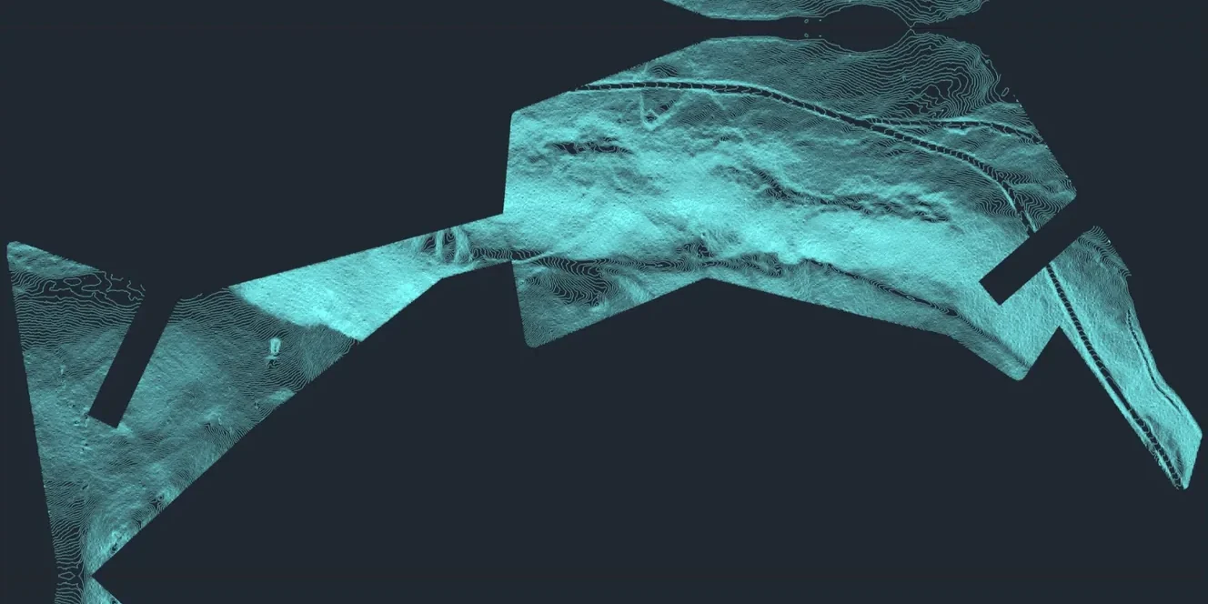
Contours from LiDAR
Clean contours generated from LiDAR and clipped to your project area.
- Major and minor contours
- Elevation labels
- Down to 1-foot intervals where the data supports it
- 3D elevation geometry
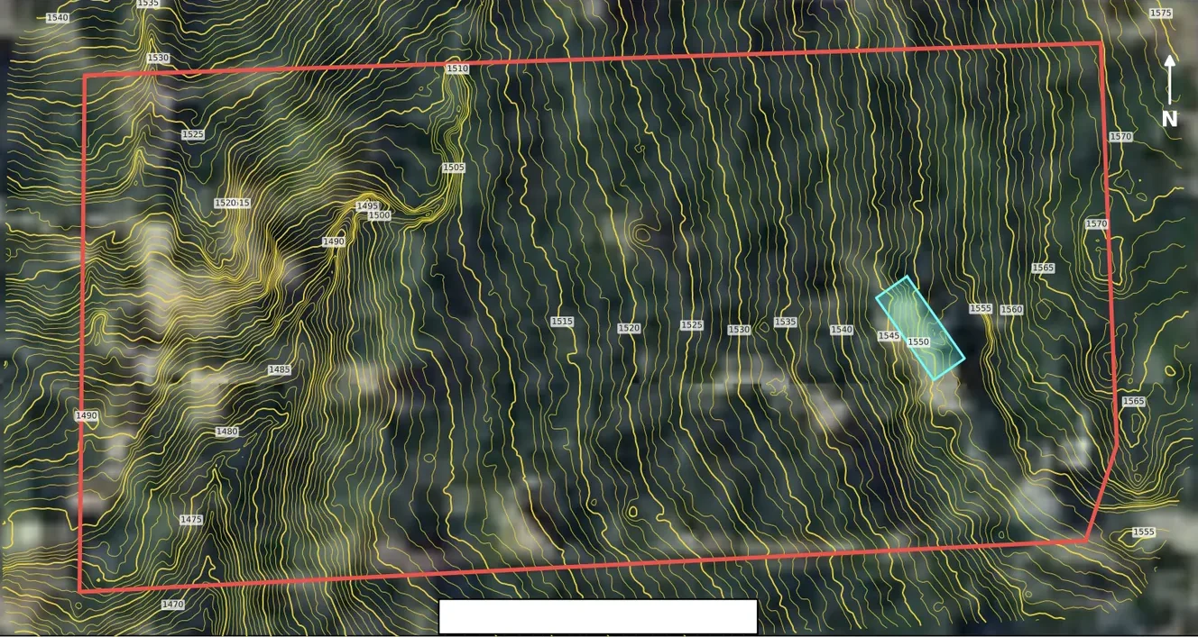
Parcel Boundaries
Included with every project: county parcel lines on their own layer in your DWG.
- Included at no extra cost
- County assessor parcel data
- APN / parcel number lookup
- Or upload your own boundary
Assessor parcel lines are approximate and aren't a boundary survey.
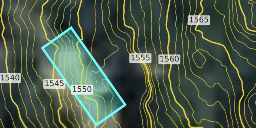
Building Footprints
Add existing building footprints for free, on their own layer.
- Free add-on when you order
- Organized on their own layer
- Delivered with your contours
Footprints come from public data and may not show recent construction.
Most residential lots are under an acre: $30 for the complete map, parcel boundary included. Larger sites run $100–$750 by acreage, and studios that order often can use a monthly plan.
See pricing →Built for design, not for permit sets
These maps come from public airborne LiDAR. They're right for concept, siting, and early design. For construction documents and permit sets, you'll still need a site survey from a licensed surveyor. Every map lists the collection year, so you know if the site may have changed.
Request a Site Review
Share your project location, scope, and timeline. We'll check LiDAR coverage and quality for the site and reply by email.
Send us an address. We'll do the rest.
Architects: common questions
The DWG and DXF files import into AutoCAD, Revit, Rhino, SketchUp Pro, and most other CAD and BIM tools that read DWG or DXF. Contours, the parcel boundary, and building footprints come in on separate layers.
For construction documents and permit sets, yes. ContourLabs maps are for designing with confidence before the survey exists, not for replacing it.
Yes. Tell us how far past the property line you want to see. Pricing is based on the total mapped area, and you can add the neighbors' building footprints for free.
Most residential lots are under an acre, which is $30 for the complete map with the parcel boundary included. Sites of 1–5 acres are $100.