Free add-on
Building Footprints in DWG, Free with Your Topo Map.
Every existing building on your site as a 2D outline, on its own layer in the same DWG as your contours and parcel boundary. Check one box when you order.
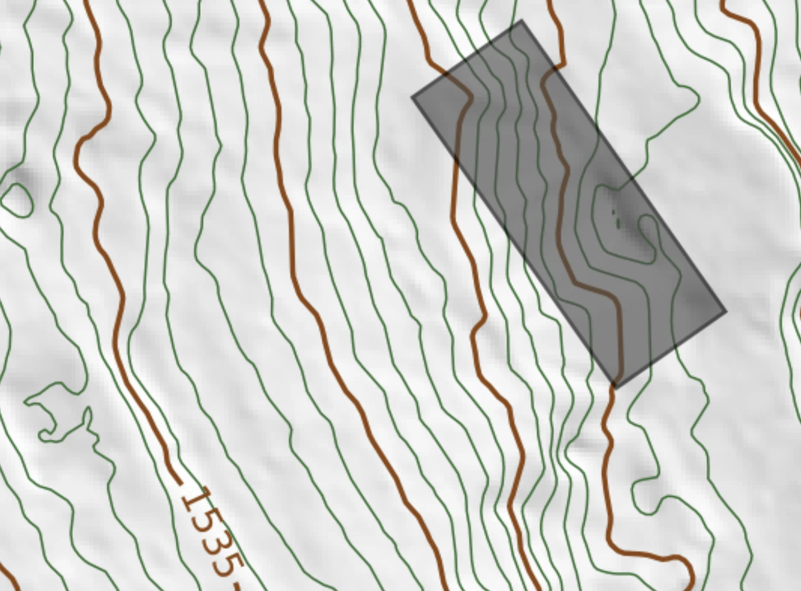
Built for architects, civil engineers, landscape architects, and land surveyors.
Existing buildings, already drawn for you.
Tracing buildings off an aerial photo means lining up the image, scaling it, and clicking around every roof by hand, one building at a time.
ContourLabs skips all of that.
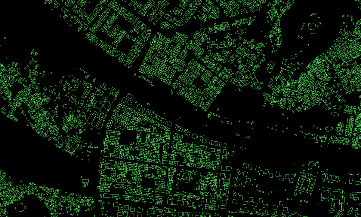
We pull the footprints
We gather every mapped building inside your project area from public building footprint data.
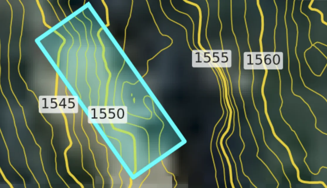
We align them
Footprints are reprojected to your coordinate system, so they sit on your contours and inside your parcel.
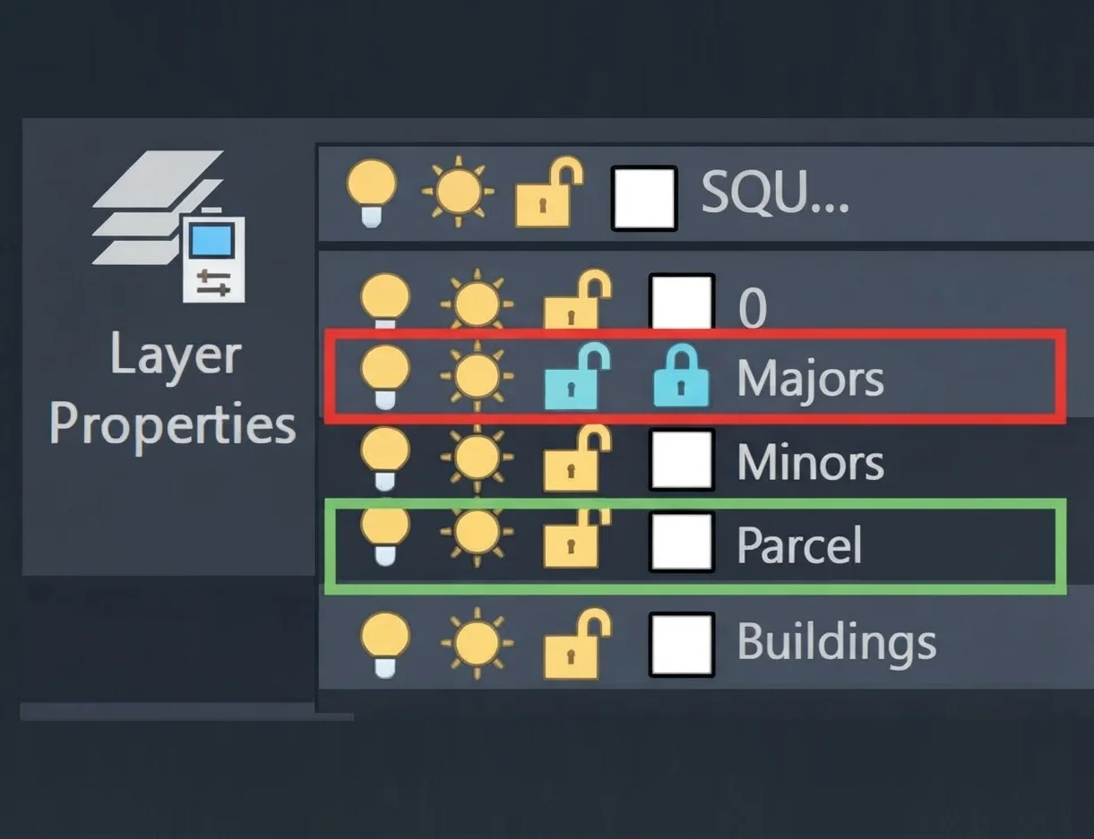
We layer them
Buildings go on their own named layer, separate from contours and the parcel boundary.

You open a DWG/DXF
Closed 2D outlines you can offset, hatch, or extrude in AutoCAD, Civil 3D, Revit, SketchUp, or Rhino.
Did you know?
Most US buildings are already mapped. Few are in CAD.
Machine learning has traced building outlines across the country from aerial imagery. We clip them to your site and drop them into your DWG.
~130M
US buildings in public footprint data
92%
Of buildings detected
2012–2020
Range of imagery dates
Microsoft's US Building Footprints dataset maps about 130 million buildings from satellite imagery, detecting roughly 92% of buildings, with imagery dates ranging from about 2012 to 2020 depending on location. That's why recent construction can be missing. Source: Microsoft US Building Footprints.
Getting existing buildings into CAD
On your own
- Find a current aerial photo of the site
- Scale and align it in CAD
- Trace every roof by hand
- Repeat for the neighbors
- Check what's missing
Nothing carries over. The next site starts the same process again.
With ContourLabs
Check "Add building footprints."
Every building in your project area, on its own layer, aligned to your contours. Free with any map.
Get StartedDesign around what's already built.
Building footprints matter most on developed lots, where existing structures shape what comes next.
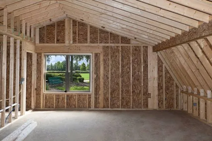
Additions & renovations
Before you sketchStart from the existing house on real terrain and see how an addition steps down the slope.
Learn more →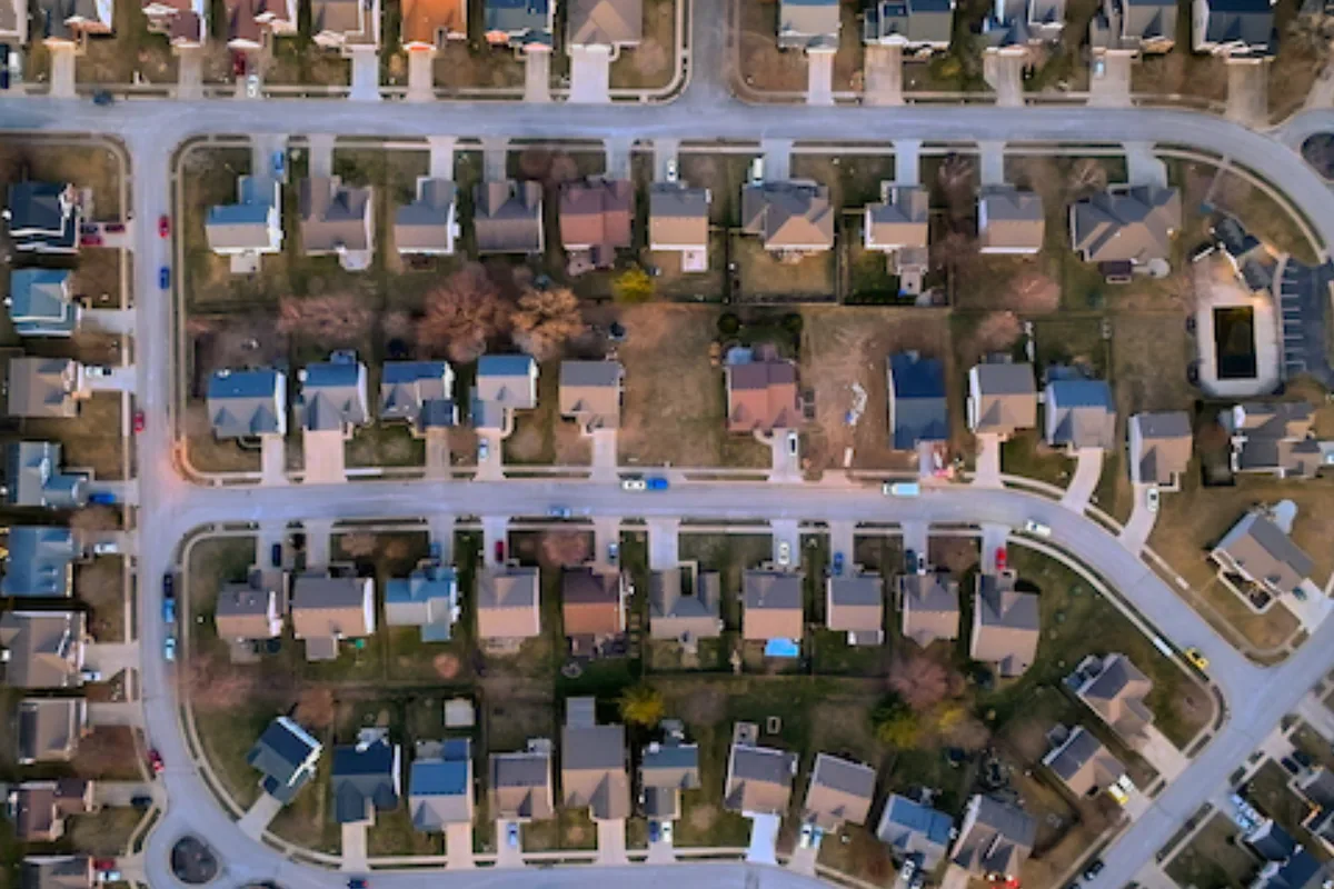
Neighbor context
Past the property lineSee where the houses next door sit, for views, privacy, and setbacks.
Learn more →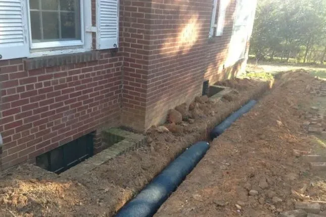
Drainage around structures
Before you regradeSee whether grade runs toward or away from existing buildings.
Learn more →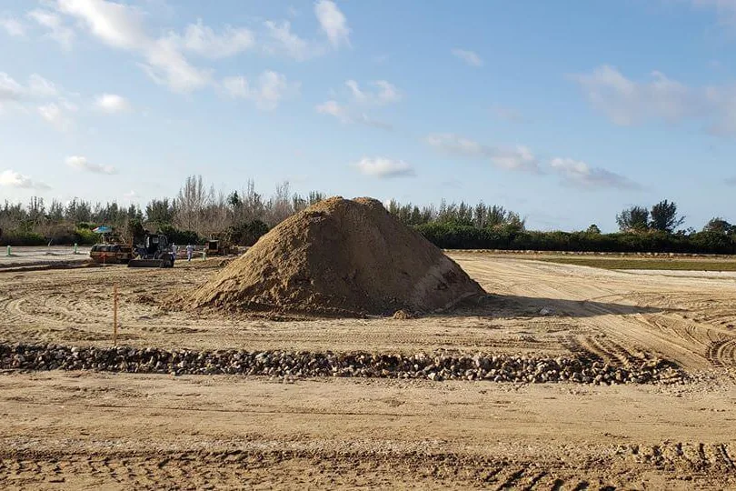
Infill site planning
Before you lay outFit new buildings, driveways, and utilities between what's already there.
Learn more →Building footprints vs. a topographic survey
Footprints show you what's there. A survey tells you exactly where.
| Attribute | Building footprints (ContourLabs) | Topographic survey |
|---|---|---|
| What it shows | The roofline outline | Building corners and foundations |
| Accuracy | Close for context; can be off by a few feet | Survey-grade |
| Recent construction | May be missing | Captured on the survey date |
| Cost | Free with any map | Quoted per project |
| Best for | Context, early design, client meetings | Additions near setbacks, permits |
Complete your base map
Alongside your building footprints, two more layers come in the same DWG: contours from public LiDAR, and your parcel boundary. Each lands on its own layer. Open either one to see what's in the file and where the data comes from.
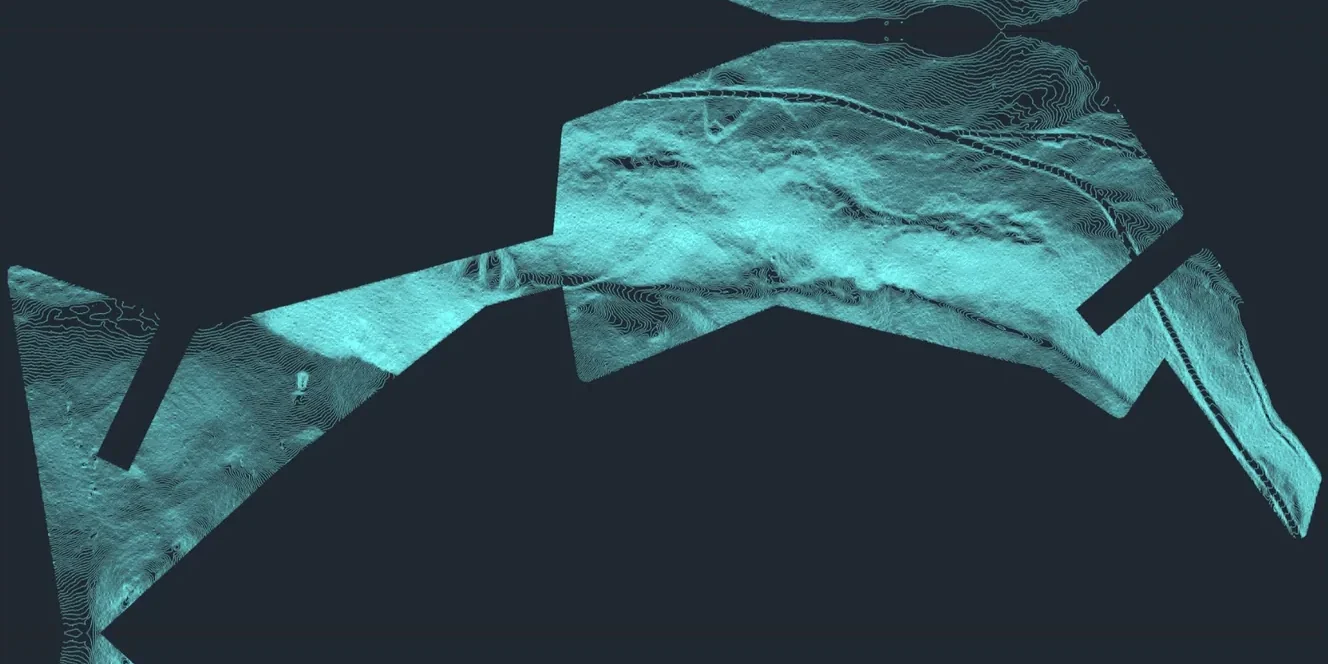
Contours from LiDAR
Clean contours generated from LiDAR and clipped to your project area.
- Major and minor contours
- Elevation labels
- Down to 1-foot intervals where the data supports it
- 3D elevation geometry
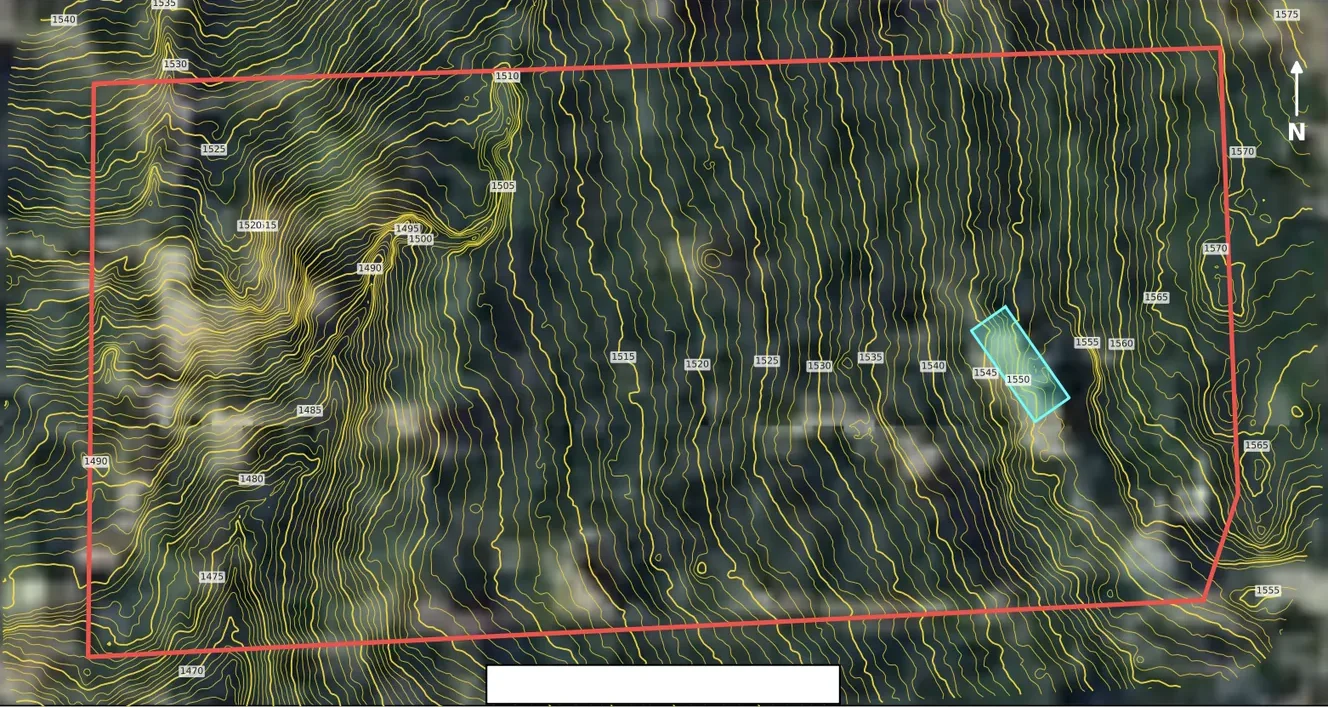
Parcel Boundaries
Included with every project: county parcel lines on their own layer in your DWG.
- Included at no extra cost
- County assessor parcel data
- APN / parcel number lookup
- Or upload your own boundary
Assessor parcel lines are approximate and aren't a boundary survey.
Add building footprints to your next map.
Check "Add building footprints" when you order. It's free. Maps start at $30, typically delivered in 24 hours.
Building footprints: common questions
They're a free add-on. Check "Add building footprints" when you order, and they arrive on their own layer in the same DWG as your contours and parcel boundary, at no extra cost.
ContourLabs uses public building footprint data, which maps building outlines from aerial and satellite imagery using machine learning. We clip it to your project area and align it to the same coordinate system as your contours.
Accurate enough for context and early design, not survey-grade. Footprints trace the roofline, so eaves can make them slightly larger than the walls, and edges can be off by a few feet. Recent construction may be missing because imagery dates vary by location.
No. Footprints are 2D outlines on their own layer. You can extrude them to rough massing heights in your own software.
Yes. You get every mapped building inside your project area, so if your map extends past the property line, the neighbors' buildings are included.