USGS 3DEP LIDAR to CAD
Contours, Delivered as CAD‑Ready DWGS.
Send an address and get down to 1 ft contours from USGS LiDAR, layered and labeled for your software.
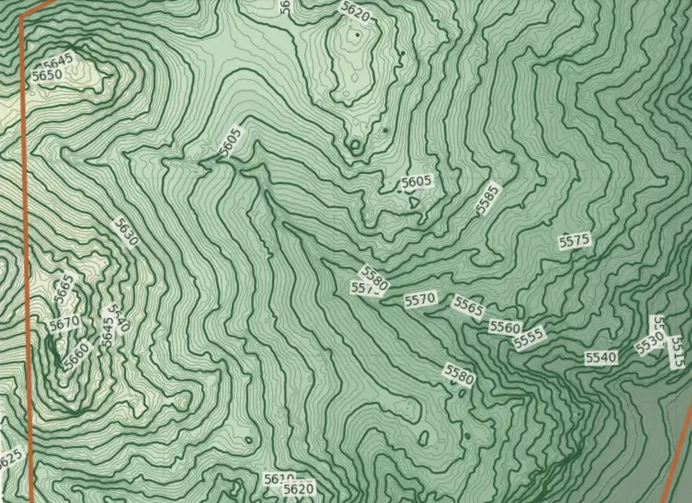
Built for architects, civil engineers, landscape architects, and land surveyors.
Stop searching for contours.
Start designing.
Public LiDAR from the USGS 3D Elevation Program covers most of the US, but turning it into contours can take hours. The data is scattered across government portals, point cloud files run to several gigabytes, and processing takes specialized GIS software.
ContourLabs handles that work for you.
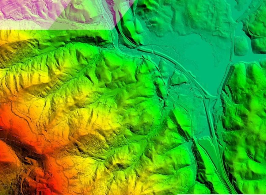
We find the data
We locate the best available public LiDAR for your site, usually USGS 3DEP, and check that it's good enough to use.
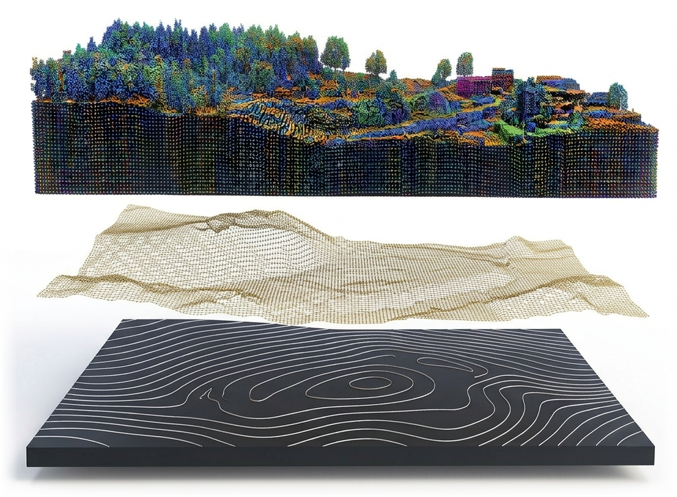
We process the terrain
We filter the point cloud to bare ground, generate contours down to 1 ft, and clip them to your project area.
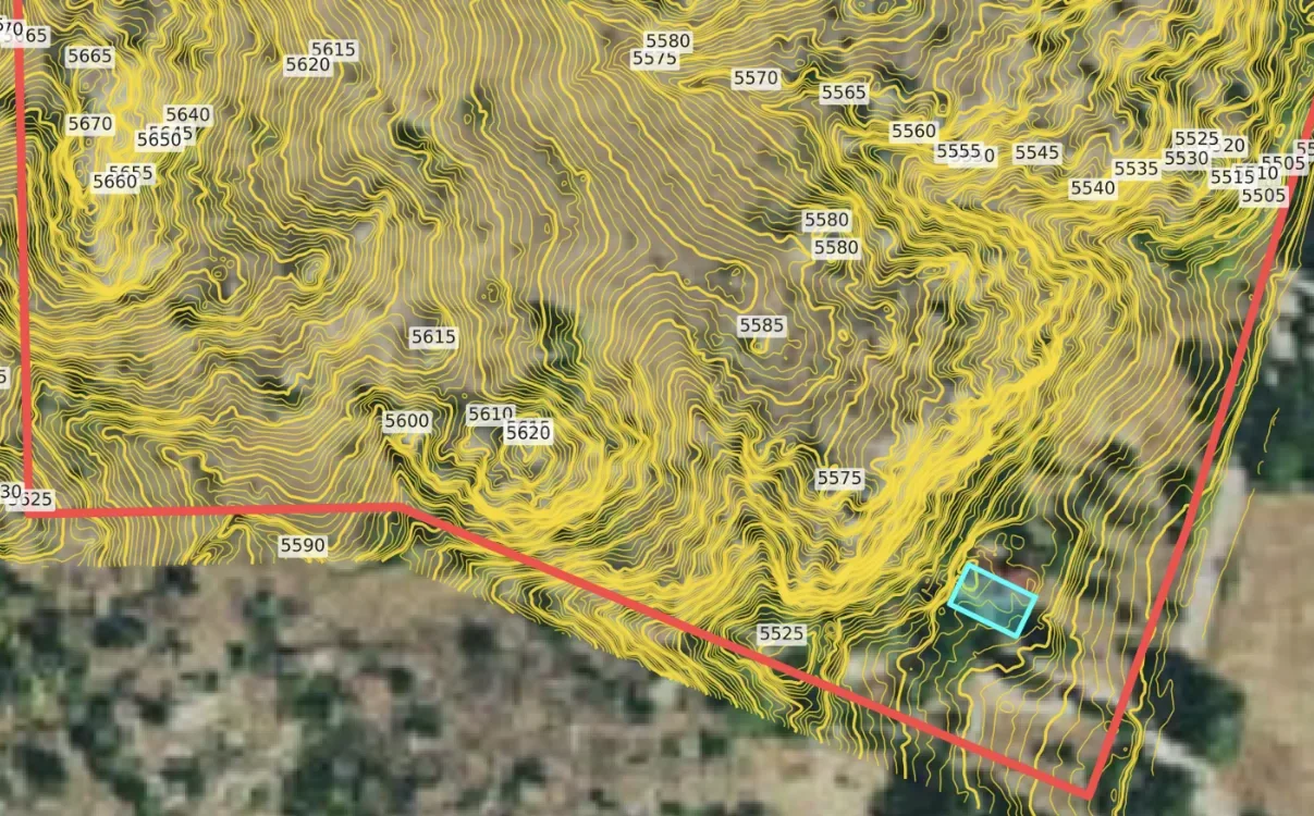
We add site context
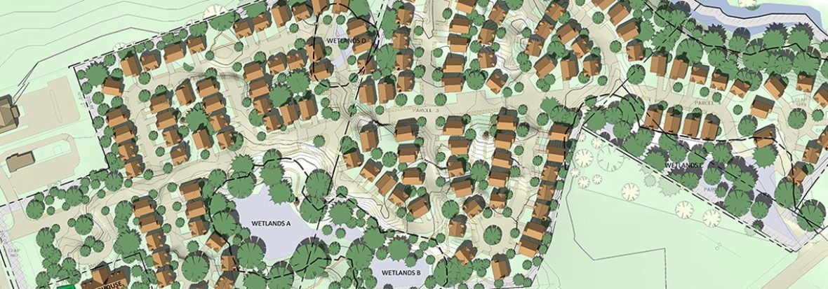
Parcel boundaries and building footprints can be added to your contours, so the terrain arrives in context.
You receive a DWG/DXF
We export a layered DWG/DXF for AutoCAD, Civil 3D, Revit, SketchUp, Rhino, and MicroStation, plus a print-ready PDF.
Your site has probably already been mapped with LiDAR.
USGS has scanned most of the country from the air, and the data is public. It's also raw. We turn it into a CAD-ready DWG/DXF for your workflow.
0%
Of the US mapped or in progress
0 cm
Vertical accuracy (QL2)
0 ft
Finest contour interval
Source: USGS 3D Elevation Program. Includes radar data in parts of Alaska.
Map the ground before anyone sets foot on site.
LiDAR contours are best for the decisions you make before a survey: site feasibility, early design, bids, and client meetings. Send an address and get CAD-ready contours from public LiDAR in under 24 hours.
Site feasibility
Before you buy or bidSee grades, slopes, drainage, and buildable area before anyone commits to a site or a survey budget.
Learn more about site feasibility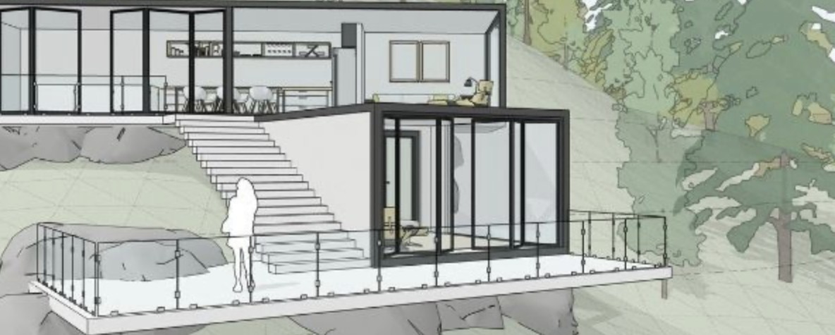
Early design
Before the survey arrivesLay out building pads, roads, grading, and stormwater on real terrain, so the survey refines your design instead of starting it.
Supplemental topo
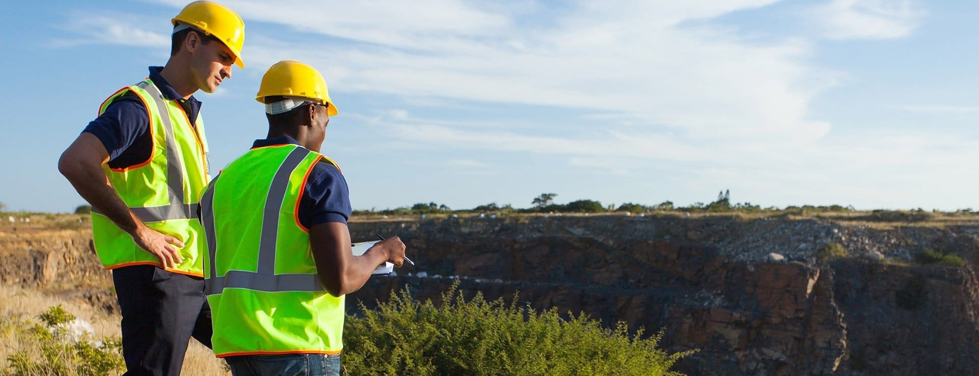
Past your survey lineExtend your topographic survey to the uphill slope and the neighbor's drainage without sending a crew back out.

Bids & earthwork estimates
Before you price the jobEstimate cut and fill from real contours, and find the ravine before you quote the earthwork.
Learn more about bids & earthwork estimates
Client presentations
At the first meetingShow clients their actual land on a print-ready PDF they can sketch over.
Large acreage & rural land
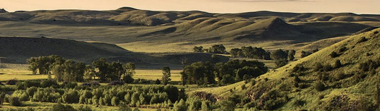
When a survey doesn't pencil outMap farms, ranches, and large parcels from public LiDAR: up to 100 acres for $750.
LiDAR contours vs. topographic survey
Use LiDAR to decide and design. Use a survey to build.
| Attribute | LiDAR contours (ContourLabs) | Topographic survey |
|---|---|---|
| Best for | Feasibility, early design, bids, client meetings | Final design, permits, construction staking |
| Turnaround | Under 24 hours | Varies with crew scheduling and site size |
| Field work | None | Crew on site |
| Vertical accuracy | About 10 cm in open terrain (USGS QL2) | Field-measured, typically much tighter |
| Stamped / certified | No | Yes |
| Cost | $30–$750 by acreage | Quoted per project |
When you still need a survey
Parcel boundaries are based on available county records and may not reflect the exact legal boundary on the ground. Boundary determination, staking, and permit-grade elevations require a licensed surveyor. Use ContourLabs to get started before the survey process begins.
Contours, parcel boundaries and building outlines, in the same DWG
Parcel boundaries are included with every project. Add building outlines at no extra cost. Both arrive on their own layers alongside your contours.
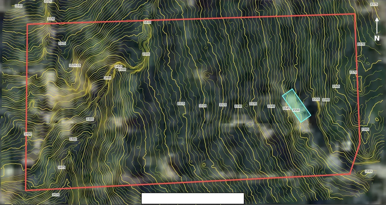
Parcel Boundaries
Included with every project: county parcel lines on their own layer in your DWG.
- Included at no extra cost
- County assessor parcel data
- APN / parcel number lookup
- Or upload your own boundary
Assessor parcel lines are approximate and aren't a boundary survey.
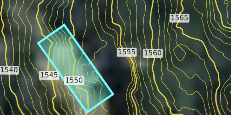
Building Footprints
Add existing building footprints for free, on their own layer.
- Free add-on when you order
- Organized on their own layer
- Delivered with your contours
Footprints come from public data and may not show recent construction.
Enter an address. Get your contours.
Parcel boundaries included. Add building outlines at no extra cost. From $30, typically 24 hours.
LiDAR contours: common questions
Yes. LiDAR measures ground elevation from aircraft, and once the points are filtered to bare earth, contour lines can be generated at intervals down to 1 foot where the data quality allows. ContourLabs does that processing for you: we find the LiDAR for your site, filter it to ground, build the surface, and deliver labeled contours as a CAD-ready DWG/DXF and a print-ready PDF.
Standard USGS 3DEP LiDAR (Quality Level 2) is specified at 10 cm RMSEz vertical accuracy in open terrain, about 4 inches, or roughly 20 cm (7.7 inches) at 95% confidence. Accuracy is lower under dense vegetation, and the data won't show grading or construction done after it was collected. Every ContourLabs map includes a Data Quality Report with the quality level and collection year for your site.
ContourLabs delivers contours down to 1-foot intervals where the source data supports it. That's typical for Quality Level 2 LiDAR or better in open terrain. The finest honest interval depends on your site's data quality and ground cover, so we check it before you order. Every file includes major (index) and minor (intermediate) contours on separate layers.
No. LiDAR contours are not a certified or stamped topographic survey, and ContourLabs maps aren't a legal boundary determination. They are accurate enough for feasibility, bidding, concept design, and early site planning. Final design, construction staking, boundary work, and permit-grade elevations still need a licensed land surveyor.
ContourLabs uses public airborne LiDAR, primarily from the USGS 3D Elevation Program (3DEP), plus state and county collections when they're newer or higher quality for your site. Every map includes a Data Quality Report naming the exact dataset, its collection year, and its quality level, so you always know what your contours are built on.
Probably. USGS reports baseline 3DEP elevation data available or in progress for about 99% of the US, although quality and collection year vary by location. Enter your address in the free coverage checker to see what exists for your site. If the data isn't good enough, we tell you before you pay.
ContourLabs delivers DWG and DXF files that open in AutoCAD, Civil 3D, MicroStation, Revit, Rhino, SketchUp Pro, and other CAD or BIM software that imports DWG or DXF. You also get a print-ready PDF for client meetings and markup.
Order them as a DWG. A ContourLabs file opens directly in AutoCAD, or you can XREF it into your base drawing. Major contours, minor contours, and the parcel boundary are on separate named layers with elevation labels. In Civil 3D, you can add the contours to a TIN surface for grading, profiles, and earthwork.
Typical turnaround is 24 hours, and files are delivered to your inbox. Professional and Studio plan members get priority turnaround. If we find a data problem with your site, we tell you before you pay rather than delaying your order.
Pricing is based on property acreage. Maps start at $30 for properties up to 1 acre, $100 for 1–5 acres, $250 for 5–20 acres, $500 for 20–30 acres, and $750 for 30–100 acres. For properties over 100 acres, contact us for a custom quote. Firms that order several maps a month can join a membership starting at $425/month for a $500 monthly map allowance.
USGS publishes 3DEP LiDAR for free through The National Map Downloader and the USGS LidarExplorer, and OpenTopography hosts many of the same datasets. The data downloads as raw LAS/LAZ point cloud tiles, often several gigabytes per site, and needs specialized mapping software to filter to ground, build a surface, and generate contours. If you'd rather skip that step, send ContourLabs the address and we'll deliver the finished contours.