FOR LAND SURVEYORS
LiDAR topography, ready for CAD.
Get processed, ground-classified LiDAR contours and elevations delivered in DWG or DXF format, typically within 24 hours. Integrate existing terrain data into your projects and focus fieldwork where verification is needed.
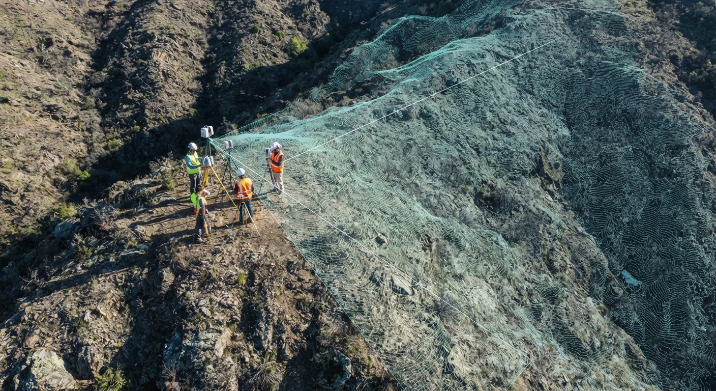
GIS for Land Surveyors
We're the mapping back office you didn't have to hire.
You already know how to process LiDAR. The question is whether it's worth your office's hours.
 01
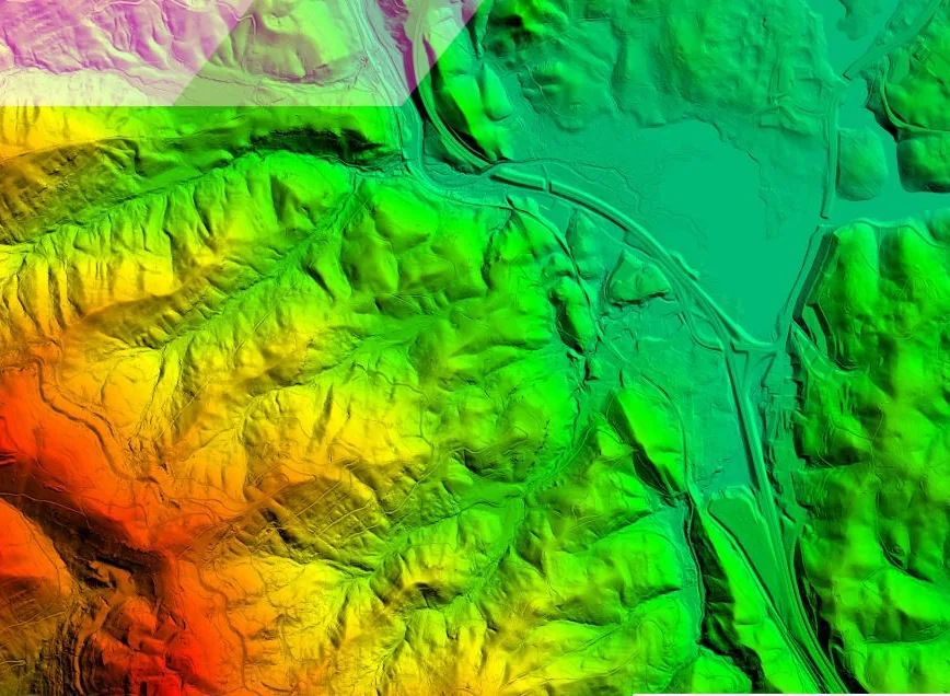
We find the data
We locate the best available public LiDAR for your site, usually USGS 3DEP, and check that it's good enough to use.
 02
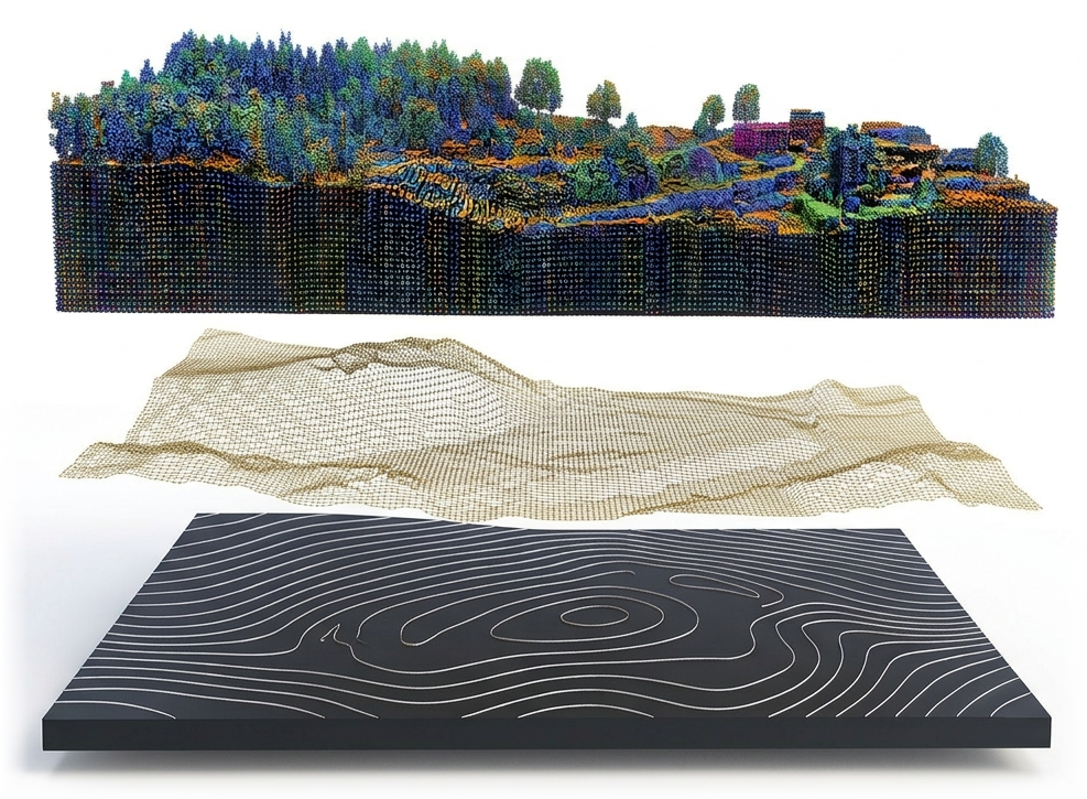
We process the terrain
Ground filtering, surface building, and contour cleanup, off your desk.
 03
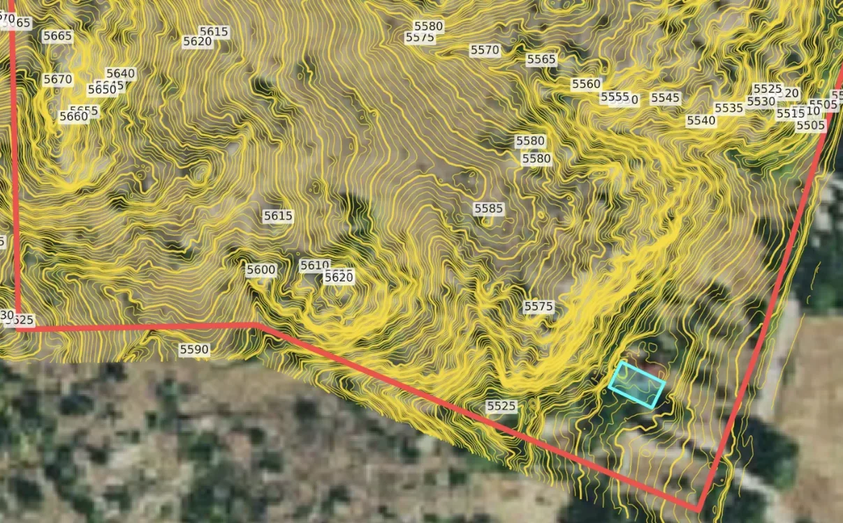
We add site context
The assessor parcel line and optional building footprints join your contours, delivered in your projection and datum.
 04
You receive a DWG/DXF
A layered DWG/DXF clearly labeled as LiDAR-derived, with the source metadata included, plus a print-ready PDF.
It's office work, not field work
Processing LiDAR eats office hours you can't bill at full rate. Send it to us and keep your staff on billable work.
New revenue from past clients
Offer topography past the line you already shot, without sending a crew back out.
We're never after your client
We don't do boundary or stamped work. We're your back office, not your competitor.
Same public data. None of your office hours.
More coverage, no extra field days.
LiDAR fills in the context your field work doesn't cover and your fee doesn't justify shooting.
Supplemental topo
Add the uphill slope and neighboring drainage so your deliverable answers the client's next question.
Upsell past clients
Offer past clients topography outside the area you already surveyed.
Bid scoping
See the terrain before you quote, so you know about the ravine before the crew does.
Field planning
Plan control and crew time with the ground in front of you.
Contours, parcel boundaries and building outlines, in the same DWG
Parcel boundaries are included with every project. Add building outlines at no extra cost. Both arrive on their own layers alongside your contours.
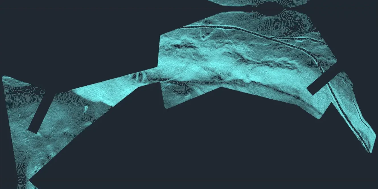
Contours from LiDAR
Clean contours generated from LiDAR and clipped to your project area.
- Major and minor contours
- Elevation labels
- Down to 1-foot intervals where the data supports it
- 3D elevation geometry
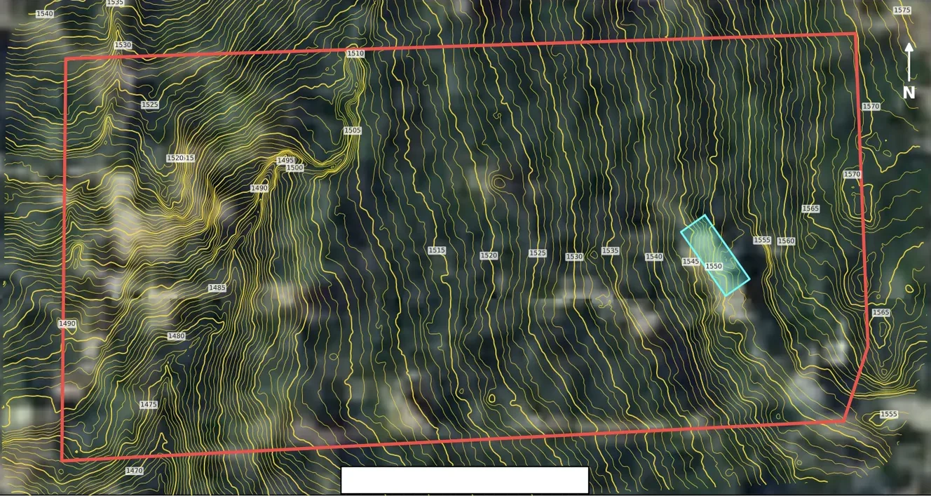
Parcel Boundaries
Included with every project: county parcel lines on their own layer in your DWG.
- Included at no extra cost
- County assessor parcel data
- APN / parcel number lookup
- Or upload your own boundary
Assessor parcel lines are approximate and aren't a boundary survey.
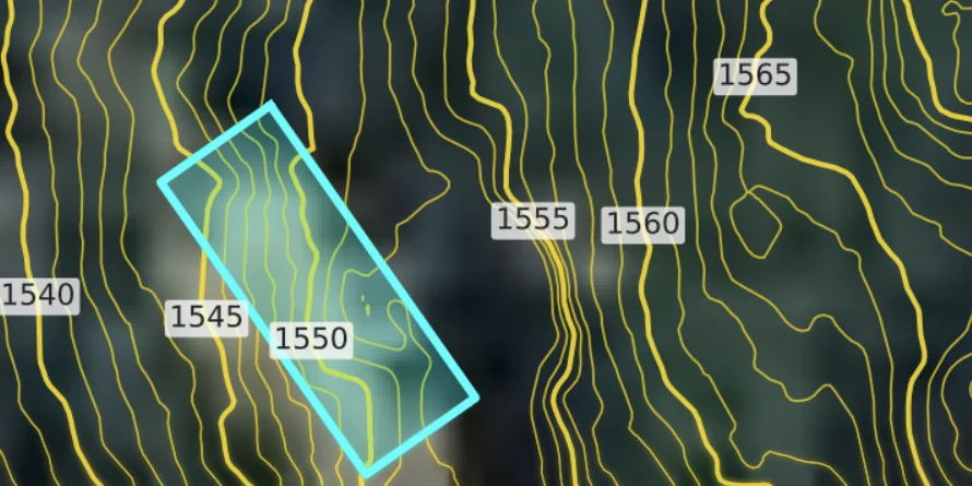
Building Footprints
Add existing building footprints for free, on their own layer.
- Free add-on when you order
- Organized on their own layer
- Delivered with your contours
Footprints come from public data and may not show recent construction.
Firms that send sites every month use memberships: a $500, $1,000, or $2,000 monthly map allowance starting at $425/month, and unused map credits that roll over indefinitely and never expire. Occasional users buy one-time maps from $30.
See pricing →Request a Site Review
Share your project location, scope, and timeline. We'll check LiDAR coverage and quality for the site and reply by email.
Keep the field work. Hand us the office work.
Send an address, APN, or boundary. Delivered in your projection, typically in 24 hours.
Land surveyors: common questions
Primarily USGS 3DEP airborne LiDAR, plus state and county collections where they're better. Every map ships with a Data Quality Report listing the dataset, collection year, quality level, and stated vertical accuracy.
Yes. Tell us your projection and vertical datum when you order, and everything in the DWG arrives in that system, ready to tie into your survey.
As supplemental, LiDAR-derived topography that isn't field-verified, with the source and collection year. The Data Quality Report included with every map gives you that information.
Yes. Explorer is $425/month for a $500 map allowance, Professional is $800/month for a $1,000 allowance with priority turnaround, and Studio is $1,500/month for a $2,000 allowance. Unused map credits roll over indefinitely and never expire. You keep unused credits even if you cancel.