FOR LANDSCAPE ARCHITECTS
Design with the terrain, not against it.
Get LiDAR-derived contours and elevations, ready to use in AutoCAD, Civil 3D, Vectorworks, and other design software. Delivered typically within 24 hours.
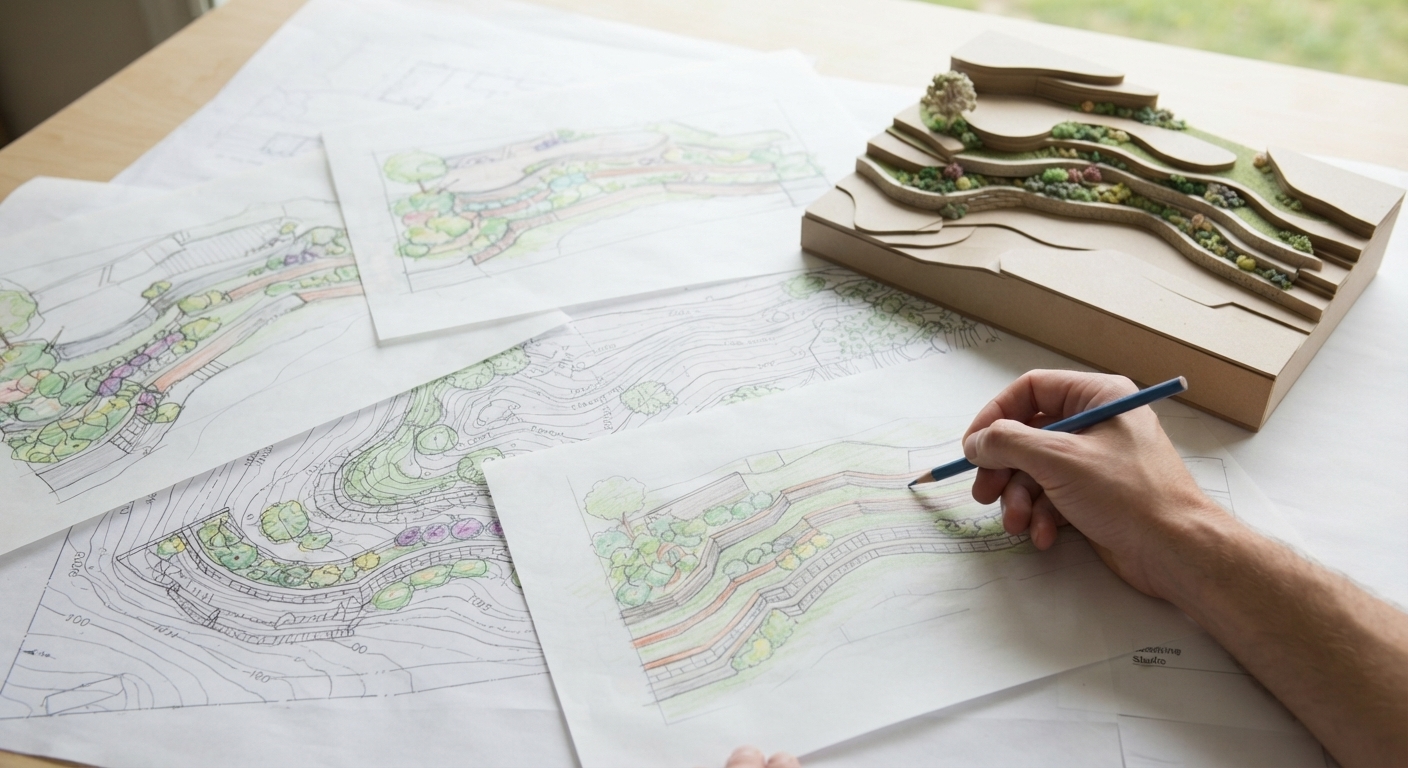
GIS for Landscape Architects
Slopes, low points, and lot lines in one file.
Residential and rural projects rarely come with a survey budget, so grades get estimated from site visits and aerial photos. LiDAR shows the real ground.
 01
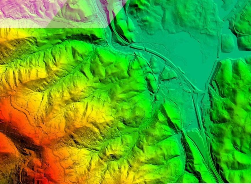
We find the data
We locate the best available public LiDAR for the property, usually USGS 3DEP, and check that it's good enough to use.
 02
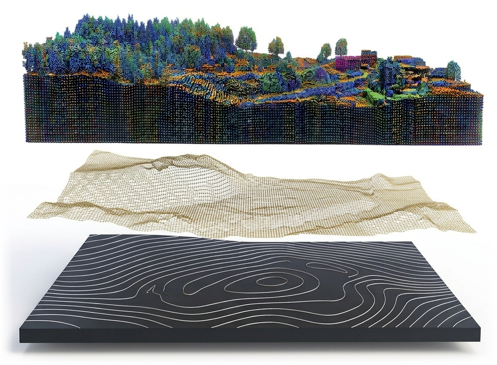
We process the terrain
We filter the point cloud to bare ground and generate contours down to 1 ft, so slopes and low points are visible.
 03
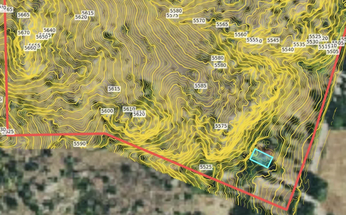
We add site context
The property line and optional building footprints join your contours on separate layers, ready for grading.
 04
You receive a DWG/DXF
A layered DWG/DXF you can grade on directly, plus a print-ready PDF to sketch over.
Your projects rarely come with a survey
Residential and rural work often has no topo budget. Contours start at $30, so every project can start with real grades.
Grading and drainage need the ground, not a guess
Contours down to 1 ft show where water goes before you place a swale, wall, or path.
Big land, flat fee
Farms, estates, and acreage up to 100 acres for $750, with no field crew to schedule.
No raw data files, no mapping software, no tracing. Just contours you can grade on.
Read the land before you shape it.
Most grading, drainage, and planting decisions depend on terrain you don't have yet.
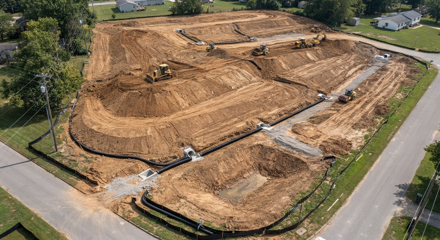
Grading & drainage
See where water collects and sheds before you plan swales or regrading.
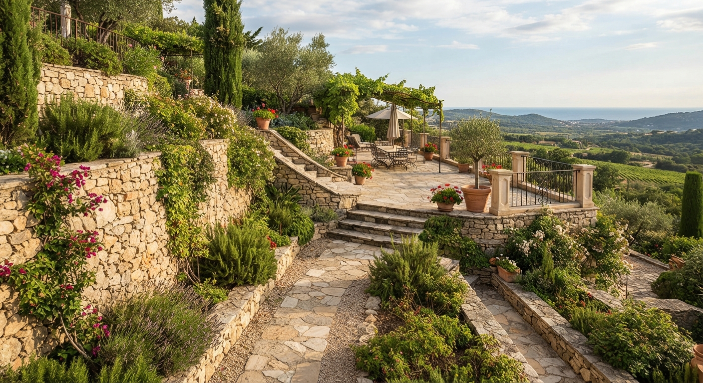
Walls, paths & terraces
Size retaining walls and route accessible paths on real slopes.

Planting & ecological design
Read slope, aspect, and low points for rain gardens, swales, and water harvesting.
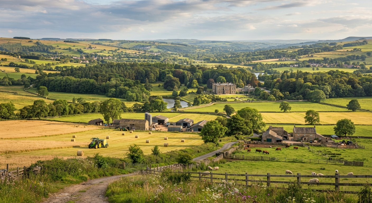
Farms, estates & rural land
Map large properties from public LiDAR: up to 100 acres for $750.
Contours, parcel boundaries and building outlines, in the same DWG
Parcel boundaries are included with every project. Add building outlines at no extra cost. Both arrive on their own layers alongside your contours.
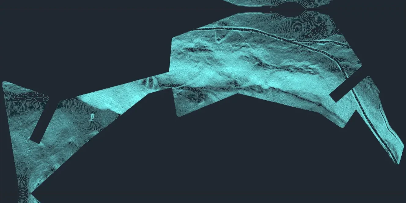
Contours from LiDAR
Clean contours generated from LiDAR and clipped to your project area.
- Major and minor contours
- Elevation labels
- Down to 1-foot intervals where the data supports it
- 3D elevation geometry
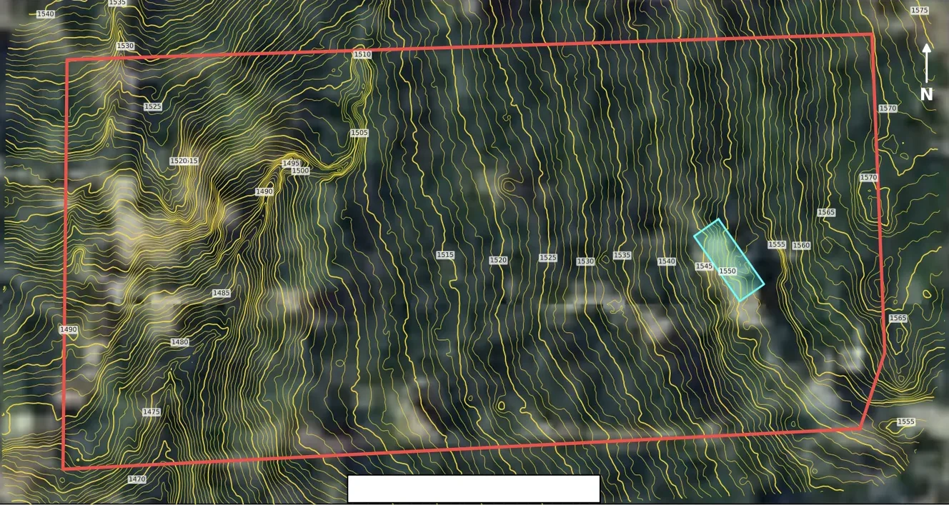
Parcel Boundaries
Included with every project: county parcel lines on their own layer in your DWG.
- Included at no extra cost
- County assessor parcel data
- APN / parcel number lookup
- Or upload your own boundary
Assessor parcel lines are approximate and aren't a boundary survey.
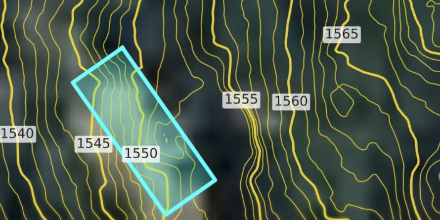
Building Footprints
Add existing building footprints for free, on their own layer.
- Free add-on when you order
- Organized on their own layer
- Delivered with your contours
Footprints come from public data and may not show recent construction.
Flat fees by acreage: $30 up to 1 acre, $100 for 1–5 acres, $250 for 5–20 acres, $500 for 20–30 acres, and $750 for 30–100 acres. The parcel boundary is always included.
See pricing →What LiDAR can and can't see
Airborne LiDAR maps the ground surface, including through light vegetation, but dense canopy, recent earthwork, and new construction may not be reflected. It's right for design and planning. For construction staking or permit-grade spot elevations, pair it with a survey.
Request a Site Review
Share your project location, scope, and timeline. We'll check LiDAR coverage and quality for the site and reply by email.
Spend your time on the design, not on the data.
Enter the property address. Parcel boundary included, typically delivered in 24 hours.
Landscape architecture: common questions
For concept and design development in open terrain, generally yes. We tell you the finest interval your site's data supports before you order. Final grading plans for permits may still need survey data.
Yes. Tell us how much surrounding area you need, since drainage doesn't stop at the property line. Pricing is based on the total mapped area.
Yes. A 20–30 acre property is $500 and 30–100 acres is $750. Above 100 acres, we'll quote it.
Yes. Every map includes a print-ready PDF with elevation labels, a north arrow, and a scale bar, made for markup and client meetings.